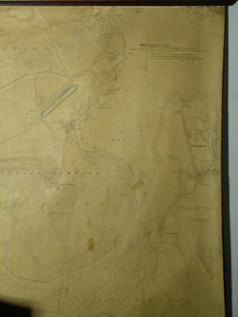
Map of Down (Lower Lecale) Sheet XXXI.7: featuring Castle Ward Demesne, with annotations relating to Castle Ward.
Ordnance Survey (Ireland)
Category
Maps
Date
1902
Materials
Paper
Measurements
1410 mm (H); 2013 mm (W)
Place of origin
Phoenix Park
Order this imageCollection
Castle Ward, County Down
NT 836429
Summary
Wall mounted 1902 Ordnance Survey map, 'Down (Lower Lecale) Sheet XXXI.7' featuring Castle Ward Demesne, with annotations relating to Castle Ward.
Makers and roles
Ordnance Survey (Ireland) , cartographer
