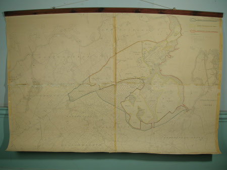
Map of Castle Ward Estate, County Down, Northern Ireland 1922
Ordnance Survey (Ireland)
Category
Maps
Date
1968
Materials
Paper, Wood
Measurements
1370 mm (H); 2010 mm (W)
Order this imageCollection
Castle Ward, County Down
NT 834276
Summary
Ordnance Survey map of Castle Ward Estate 1922 (printed in 1968, with hand-marked National Trust property borders etc).
Makers and roles
Ordnance Survey (Ireland) , cartographer Ministry of Agriculture Northern Ireland , engraver and publisher

