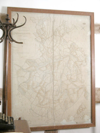
Map/plan of the Brockhampton Estate, Herefordshire
John Barneby
Category
Maps
Date
1829
Materials
Paper, glazed in a wooden frame
Measurements
1425 x 1070 mm
Order this imageCollection
Brockhampton Estate, Herefordshire
NT 832175
Summary
Plan of the estates of John Barneby, 1829 This map was drawn up by the Hereford surveyor, William Fosbrooke in 1829. It shows the extent of the Brockhampton Estate with individual fields, pasture and woodland clearly identified. Buildings are also drawn onto this map. There are lots of handwritten annotations on the map, which were added in pencil and are now quite faint. These were presumably added by the landowner to help him keep track of the fields with a system of numbers or letters
Full description
.
Makers and roles
John Barneby, cartographer
