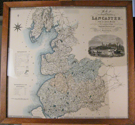
Map of the County Palatine of Lancaster
Christopher Greenwood (1786-1855)
Category
Maps
Date
1830
Materials
Paper and wood
Measurements
760 x 700 mm
Order this imageCollection
Rufford Old Hall, Lancashire
NT 783763
Summary
Map of the County Palatine of Lancaster ca 1830 with engraving to right hand side.
Makers and roles
Christopher Greenwood (1786-1855), cartographer
