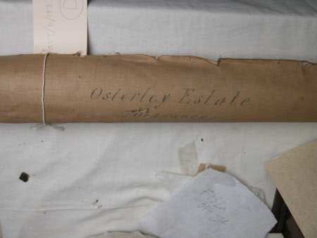
Map of the Osterley Estate, London
Ordnance Survey (England, Scotland, Wales)
Category
Maps
Date
1900 - 1925
Materials
Canvas, Ink, Paper
Measurements
2090 mm (Width)
Order this imageCollection
Osterley Park and House, London
NT 771716
Summary
Osterley Estate Ordnance Map. Map of the estate drawn on canvas-backed paper rolled around a pine rod.
Provenance
found in the Upper Store, December 1996. May have been part of the 9th Earl of Jersey Estate Office.
Makers and roles
Ordnance Survey (England, Scotland, Wales) , cartographer
