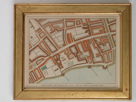
Map of the Fleet Street and Temple Bar area of London
Category
Maps
Date
1800 - 1899
Materials
Paper
Measurements
160 x 194 mm
Order this imageCollection
Osterley Park and House, London
NT 771691
Summary
Street map printed with areas highlighted in watercolour of the Fleet Street and Temple Bar area of London, inscribed on the bottom edge 'Fleet Street, the Temple etc, from a map of London published 1720'. Shows in detail Fleet Street and Temple Bar where Child's bank was situated. The frame modern, plain moulded giltwood.
Provenance
Jersey bequest November 1993
Marks and inscriptions
On the bottom edge 'Fleet Street, the Temple etc, from a map of London published 1720'.
