Map
Category
Maps
Date
1915
Materials
Paper
Order this imageCollection
Mr Straw's House, Nottinghamshire
NT 748453.8
Summary
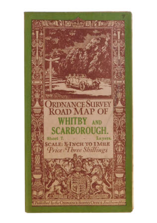
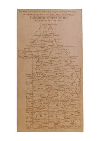
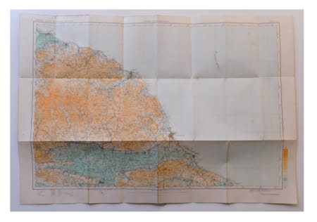
The last of seven maps kept in a brown paper envelope (record 748453.1). The map is an 'ORDNANCE SURVEY ROAD MAP OF WHITBY AND SCARBOROUGH. Sheet 7. Layers. SCALE: 1/2 INCH to 1MILE Price : Three Shillings'. The front has a green border with an internal black and white decorated border with columns, urns, scrolls and other stylized designs. At the top os a crown with 'G' and 'R' to either side and at the base a heraldic shield held by lion and unicorn with the motto 'DIEU.ET MON.DROIT' underneath in a scroll. A print of a motorcar on a country lane at a finger post sits above the title in a plain double banded border. The map is 'Published by the ORDNANCE SURVEY OFFICE Southampton.'. The back shows 'ORDNANCE SURVEY. OF ENGLAND & WALES. DIAGRAM OF SHEETS OF MAP. ONE INCH TO ONE MILE.' and is 'Published by Authority of the Ministry of Agriculture and Fisheries.'.


