Map
Category
Maps
Date
Aug 1912
Materials
Paper
Order this imageCollection
Mr Straw's House, Nottinghamshire
NT 748453.7
Summary
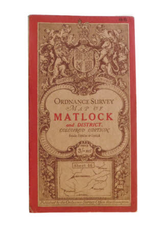
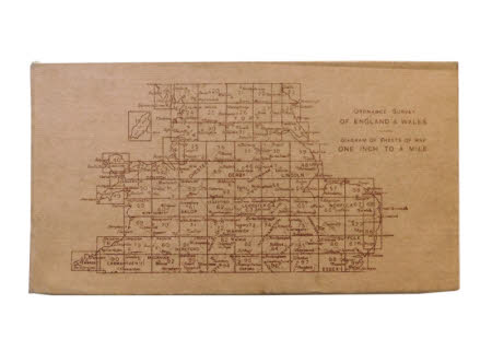
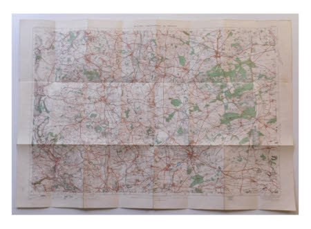
The sixth of seven maps kept in a brown paper envelope (record 748453.1). The map is an 'ORDNANCE SURVEY MAP OF MATLOCK and DISTRICT. COLOURED EDITION Scale: 1 INCH to 1MILE'. The front has a red border with a heraldic shield at the top held by lion and unicorn and the motto 'DIEU.ET MON.DROIT' underneath in a scroll. The title is framed by an ornate border of central scrolls, rounded corners and 'embossed' effect work. Beneath the title panel a small oblong map depicting the area shown inside with 'Sheet 46' at the top, surrounded by 'carved roses and thistles and the initials 'E M' in the right corner. The map is 'Published by the Ordnance Survey Office, Southampton.' and cost 'PRICE 3/- net'. The back shows 'ORDNANCE SURVEY. OF ENGLAND & WALES. DIAGRAM OF SHEETS OF MAP. ONE INCH TO ONE MILE.'.


