Map
Category
Maps
Date
1929
Materials
Paper
Order this imageCollection
Mr Straw's House, Nottinghamshire
NT 748453.6
Summary
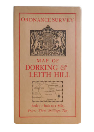
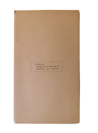
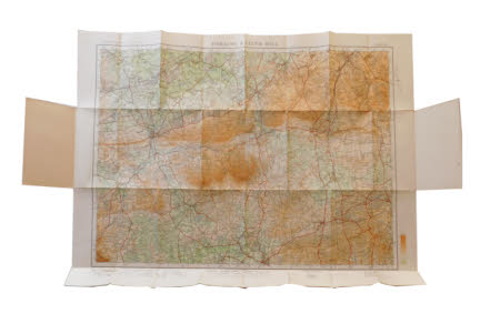
The fifth of seven maps kept in a brown paper envelope (record 748453.1). The map is an 'Ordnance Survey MAP OF DORKING & LEITH HILL Scale: 1 Inch to 1Mile'. The front has a red single line border with a heraldic shield at the top held by lion and unicorn and the motto 'DIEU.ET MON.DROIT' underneath in a scroll and the letters 'G' & 'R' either side. Beneath the title is a small oblong map depicting the area shown inside, with a compass in the bottom right corner. The map cost 'Price : Three Shillings. Net'. The back is plain when folded with the words 'Published by . . . . . Authority of the Ministry of Agriculture and Fisheries' in a black single line oblong in the centre.


