Map
Category
Maps
Date
1923
Materials
Paper
Order this imageCollection
Mr Straw's House, Nottinghamshire
NT 748453.3
Summary
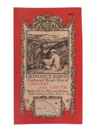
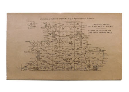
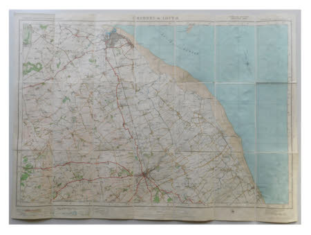
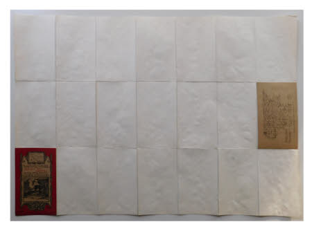
The second of seven maps kept in a brown paper envelope (record 748453.1). The map is an 'ORDNANCE SURVEY Contoured Road Map of GRIMSBY AND LOUTH. Popular Edition Mounted in Sections Scale: 1 INCH to 1MILE'. The front has a red border with the number '40' in the top right corner and an oak leaf border runs to three sides starting from the heraldic shield at the top held by lion and unicorn and the motto 'DIEU.ET MON.DROIT' underneath in a scroll. A print of a man sat on a hillside looking down into a valley holding a map sits above the title in a plain double banded border. Beneath the title an oblong map depicts the area covered inside with a compass in the right corner and 'Sheet 40' printed to the left. The map cost 'Price 4/- Net'. The back shows 'ORDNANCE SURVEY. OF ENGLAND & WALES. DIAGRAM OF SHEETS OF MAP. ONE INCH TO ONE MILE.' and is 'Published by Authority of the Ministry of Agriculture and Fisheries.


