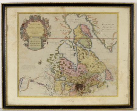
Map of Canada and the Great Lakes
Guillaume de L'Isle (1675-1726)
Category
Maps
Date
Unknown
Materials
Paper
Measurements
440 x 545 x 25 mm
Order this imageCollection
Dunster Castle, Somerset
NT 725503.1
Summary
One of three reproduction maps of the New World - 'Canada and the Great Lakes, by Guillaume de L'Isle, 1720'. NOTE: Badly infested
Makers and roles
Guillaume de L'Isle (1675-1726), mapmaker
