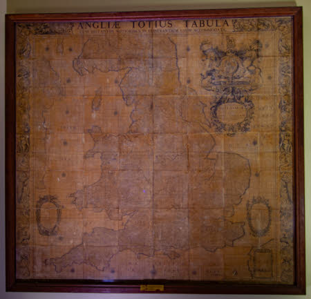
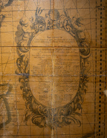
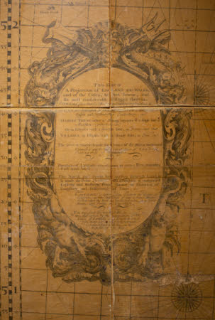
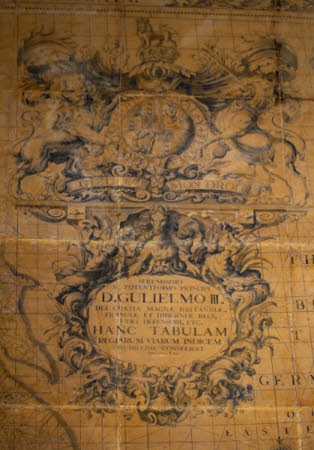
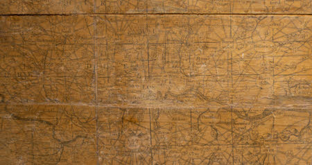
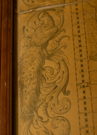
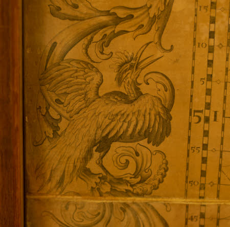
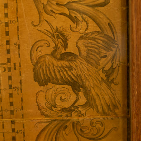
Map of England and Wales
John Adams (c.1670 - 1738)
Category
Maps
Date
Unknown
Materials
Glass, Paper, Wood
Measurements
211 cm (h)198 cm (w)
Order this imageCollection
Vyne Estate, Hampshire
NT 718701
Summary
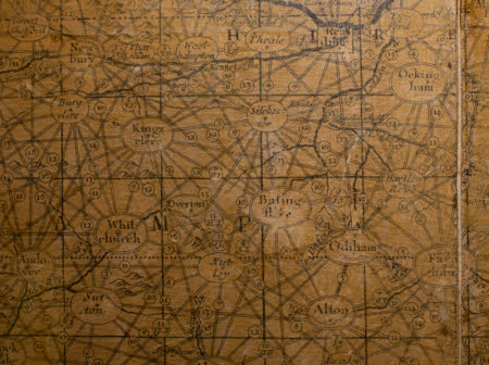
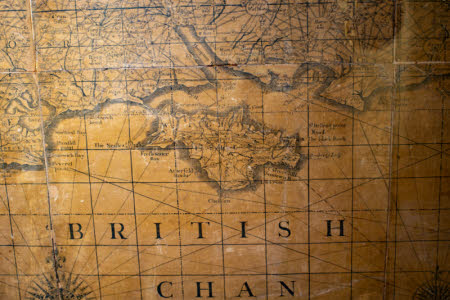
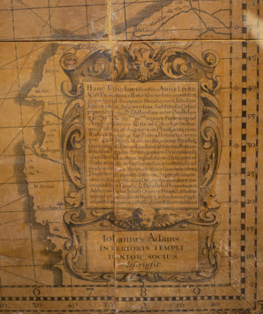
A map of England and Wales; 'Anglae Tabula' by John Adams. Mounted on board, varnished and framed. Glazed 1983. Renovated 1982.
Makers and roles
John Adams (c.1670 - 1738), cartographer
