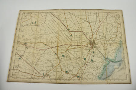
Ordnance survey map
Category
Maps
Date
Unknown
Materials
Paper, Card & Textile
Measurements
340 x 505 mm
Order this imageCollection
Gunby Hall Estate, Lincolnshire
NT 638509.1
Summary
1” Ordnance Survey map of England and Wales sheet 128 (Boston) folded, with marbled covers and label on front
Provenance
1990, purchased from J Montgomery-Massingberd.
Marks and inscriptions
Label on front: ’SOLE AGENT BY APPOINTMENT/FOR THE SALE OF /ORDNANCE MAPS.’ and ‘NEW 1 INCH ORDNANCE SURVEY/ OF/ ENGLAND AND WALES/ SHEET 128’ and ‘LONDON:/ EDWARD STANFORD/ WHOLESALE & RETAIL MAPSELLER.&c./ 26 & 27 COCKSPUR ST. CHARING CROSS S.W.’

