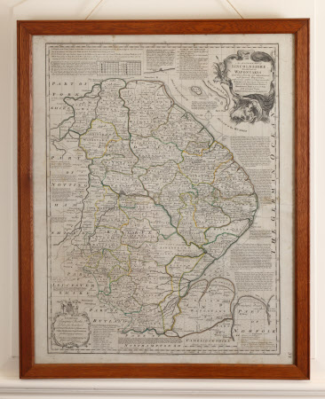
Map of Lincolnshire divided into Wapentakes
Emanuel Bowen (1714-1767)
Category
Maps
Date
Unknown
Materials
Glass, Paper, Wood
Measurements
750 x 590 mm
Order this imageCollection
Gunby Hall Estate, Lincolnshire
NT 636786
Summary
An English mid 18th century map of Lincolnshire divided into Wapentakes by Emmanuel Bowen, Geographer to His Majesty dedicated to the Most Noble Peregrine Bertie, Duke of Ancaster.
Provenance
1944, gifted to the National Trust by Field Marshal Sir Archibald and Lady Montgomery Massingberd.
Makers and roles
Emanuel Bowen (1714-1767), cartographer
