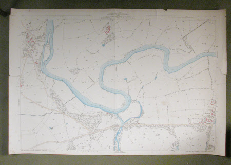
Map of the parish of Atcham, Wroxeter and Berrington and surrounding countryside: 1849
Ordnance Survey (England, Scotland, Wales)
Category
Maps
Date
1972
Materials
Paper
Measurements
720 x 1070 mm
Order this imageCollection
Attingham Park, Shropshire
NT 608044
Summary
Ordnance survey map. 1/2500 scale Ordnance Survey map of the parish of Atcham, Wroxeter and Berrington and surrounding countryside, sheet no.XLII.I. Dated 1972 and initialled H.D.G.F.
Provenance
Attingham collection; bequeathed to the National Trust with the estate, house and contents of Attingham by Thomas Henry Noel-Hill, 8th Baron Berwick (1877-1947) on 15th May 1953.
Makers and roles
Ordnance Survey (England, Scotland, Wales) , cartographer H. D. G. F., mapmaker
