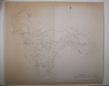
Map of the Parish of Wroxeter, Shropshire
H. D. G. F.
Category
Maps
Date
1972
Materials
Paper
Measurements
735 x 860 mm
Order this imageCollection
Attingham Park, Shropshire
NT 608043
Summary
A photocopy of an original pen and ink map of the Parish of Wroxeter, based on tithe apportionment and map of 1842. Illustrates the villages of Uppington, Cressage, Cound, Atcham and Berrington. Initialled H.D.G.F. and dated 1972.
Provenance
Attingham collection; bequeathed to the National Trust with the estate, house and contents of Attingham by Thomas Henry Noel-Hill, 8th Baron Berwick (1877-1947) on 15th May 1953
Marks and inscriptions
H.D.G.F. 1972 (initialled and dated bottom left)
Makers and roles
H. D. G. F.
