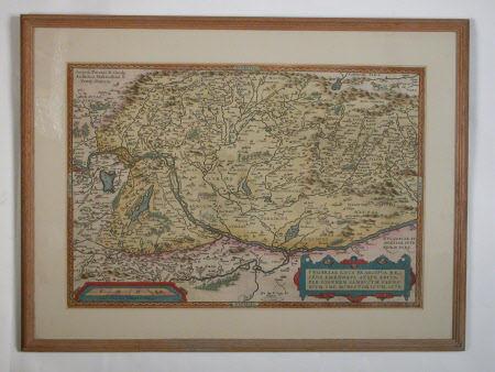
Map of Hungary
Category
Maps
Date
circa 1579
Materials
Paper
Measurements
345 x 510 mm
Order this imageCollection
Attingham Park, Shropshire
NT 607933
Summary
Coloured engraving of a country map. Early map of Hungary (possibly circa 1579), with details of mountains, rivers, lakes and towns. Illustrations picked out in coloured washes. Glazed, plain white card mount, narrow modern pine frame.
Provenance
Attingham collection; bequeathed to the National Trust with the estate, house and contents of Attingham by Thomas Henry Noel-Hill, 8th Baron Berwick (1877-1947) on 15th May 1953.
