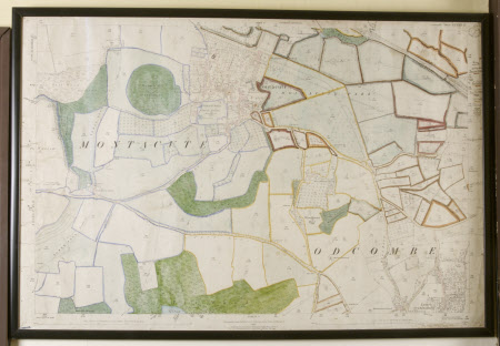
Map of Montacute, Somerset
Ordnance Survey (England, Scotland, Wales)
Category
Maps
Date
1886
Materials
Watercolour on paper
Measurements
740 x 1075 mm
Order this imageCollection
Montacute House, Somerset
NT 597448
Summary
Ordnance Survey map of Montacute, with coloured amendments. Edition of 1886, published 1887 (sheet LXXX11.15).
Makers and roles
Ordnance Survey (England, Scotland, Wales) , engraver and publisher
