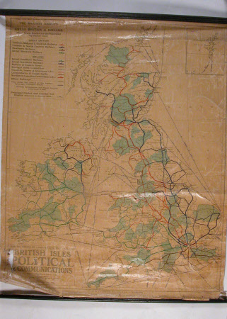
Political communications map of the British Isles, 1945
George Philip and Son
Category
Maps
Date
1945
Materials
Paper and wood
Measurements
1110 x 860 mm
Order this imageCollection
Packwood House, Warwickshire
NT 557550.2
Summary
Political communications map of the British Isles, 1945, to a scale of 1 to 1,000,000 (16 miles to 1 inch), showing railway groups and lines. On paper with black wooden battens at the top and bottom.
Makers and roles
George Philip and Son , engraver and publisher
