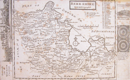
Map of Berkshire
Herman Moll (1654-1732)
Category
Maps
Date
Unknown
Materials
Print on paper
Measurements
192 x 306 mm
Order this imageCollection
Anglesey Abbey, Cambridgeshire
NT 516297
Summary
Map of Berkshire with 2 Views of Windsor on borders of map. By H. Moll 'Geographer'. Mounted on paper, same mount as PR/210.
Provenance
Bequeathed to the National Trust by Huttleston Rogers Broughton, 1st Lord Fairhaven (1896-1966) with the house and the rest of the contents.
Makers and roles
Herman Moll (1654-1732)
