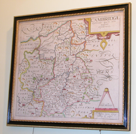
Map of Cambridge
Christopher Saxton (c.1540-c.1610)
Category
Maps
Date
1585
Materials
Engraving on paper
Measurements
300 x 340 mm
Order this imageCollection
Anglesey Abbey, Cambridgeshire
NT 513680
Summary
Map of Cambridge by C. Saxton, engraved by Kip, 1585. Scale of miles. Coloured in outline, folio. Black and gilt frame.
Provenance
Bequeathed to the National Trust by Huttleston Rogers Broughton, 1st Lord Fairhaven (1896-1966) with the house and the rest of the contents.
Makers and roles
Christopher Saxton (c.1540-c.1610)

