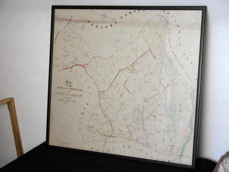
Map of Parish of Benthall
Category
Maps
Date
1844
Materials
Paper, glass and plastic
Measurements
535 x 580 mm
Order this imageCollection
Benthall Hall, Shropshire
NT 509630
Summary
Pen and ink drawing on paper, ground plan of the parish of Benthall in 1844, amateur drawing, detailing field names and boundaries. Glazed in plain narrow black plastic frame. Inscribed - 820 acres. Sold to Lord Forester Sept 20 1844 (in bottom left hand corner). 1844.
Provenance
Drawn in 1844. Owned by Mary Clementina Benthall (1879-1960) and recorded in the 1957 list of pictures, furniture etc suggested for retention at Benthall Hall by the National Trust. Transferred to the ownership of the National Trust with the contents of Benthall Hall in the Deed Of Gift made by Mary Clementina Benthall and dated 8th August 1958. Recorded in the Inventory Of National Trust Property At Benthall Hall dated 1st October 1963.
Marks and inscriptions
820 acres; Sold to Lord Forester Sept 20 1844 (in bottom left hand corner)
