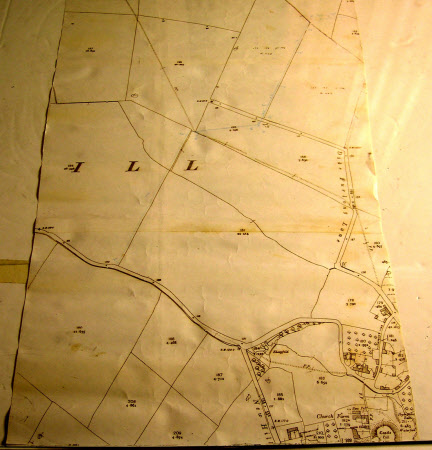
Map showing Hough on the Hill, Lincolnshire, and highlighting the mains water supply to Seagrave's Farm.
Ordnance Survey (England, Scotland, Wales)
Category
Maps
Date
1 Jan 1930
Materials
Paper
Measurements
610 mm (Width); 330 mm (Length)
Order this imageCollection
Belton House, Lincolnshire
NT 437654
Summary
Part of an OS map showing Hough on the Hill and highlighting the mains water supply to Seagrave's Farm.
Marks and inscriptions
n
Makers and roles
Ordnance Survey (England, Scotland, Wales) , cartographer
