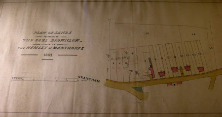
Map/plan of lands owned by Earl Brownlow in the Hamlet of Manthorpe, Lincolnshire
J. H. Hutchinson (fl.1851)
Category
Maps
Date
1 Jan 1851
Materials
Paper
Measurements
330 mm (Width); 720 mm (Length)
Order this imageCollection
Belton House, Lincolnshire
NT 437542
Summary
An ink and wash drawing showing the plan of lands owned by Earl Brownlow in the Hamlet of Manthorpe. The drawing is signed by J. H. Hutchinson. Dated 1851.
Marks and inscriptions
n
Makers and roles
J. H. Hutchinson (fl.1851), mapmaker
