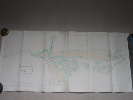
Map of the Harbour of Boston, Lincolnshire
R. Martins
Category
Maps
Date
May 1834
Materials
Paper
Measurements
420 x 890 mm
Place of origin
Boston
Order this imageCollection
Belton House, Lincolnshire
NT 434157
Summary
Printed map, on Whatman paper (1833) of the Harbour of Boston, Lincs. May 1834. Hand coloured with blue water edging, yellow sands and green marsh. Drawn to scale of 1 mile = 1 inch by R. Martins Lithography.
Makers and roles
R. Martins, lithographer
