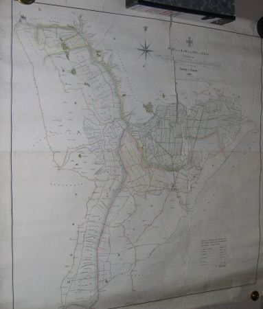
Map of the Lowlands and Fens, Drained by the River Witham, Lincolnshire
C. Burton (fl. c.1830 - 1852)
Category
Maps
Date
Unknown
Materials
Paper
Measurements
990 x 980 mm
Order this imageCollection
Belton House, Lincolnshire
NT 434156
Summary
Hand coloured printed map of the 'Lowlands and Fens/Drained by the/ River Witham/ Hobhole Drain / Steepings River, and South Forty Feet / In the County of Lincoln / 1830'. A list of drainage tax is given below. By C. Burton, printed by R. Cartwright. Torn.
Makers and roles
C. Burton (fl. c.1830 - 1852), mapmaker
