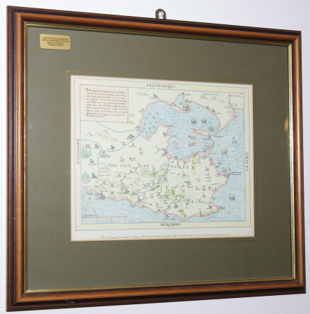
Map of The Isle of Purbeck
Ralph Treswell (c.1540 - 1616)
Category
Maps
Date
Unknown
Materials
Paper.
Measurements
210 x 265 mm
Order this imageCollection
Corfe Castle, Dorset
NT 420328
Summary
19th century coloured photo-lithographic facsimile of a Map of The Isle of Purbeck (similar to COR.D.17).
Marks and inscriptions
Photo lithographic facsimile of a Map of The Isle of Purbeck drawn by Ralph Treswell in 1586 preserved at Kinston Lacy
Makers and roles
Ralph Treswell (c.1540 - 1616), mapmaker
