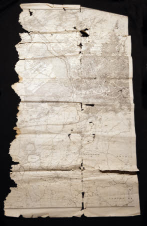
Ordnance survey map
Category
Maps
Date
Unknown
Materials
Paper
Measurements
1340 x 770 mm
Order this imageCollection
Tyntesfield, North Somerset
NT 40667.15
Summary
A section of a large scale Ordnance Survey Map, centred on Long Ashton. Possible 1950's.
Provenance
Items likely to have originated from the Tyntesfield Estate Office during the period of ownership by the Gibbs family. Found in a property on the Belmont Estate which was previously owned by the Tyntesfield Estate. Gifted to the National Trust in 2023.
