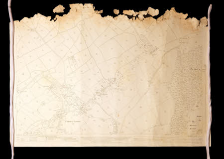
Ordnance survey map
Category
Maps
Date
1930
Materials
Paper
Measurements
740 x 1040 mm
Order this imageCollection
Tyntesfield, North Somerset
NT 40667.10
Summary
An Ordnance Survey Map, centred on the area around Caswell Hill, scale 1:2500, Somer. 11. 14. Revised from the 1882 survey in 1930.
Provenance
Items likely to have originated from the Tyntesfield Estate Office during the period of ownership by the Gibbs family. Found in a property on the Belmont Estate which was previously owned by the Tyntesfield Estate. Gifted to the National Trust in 2023.
