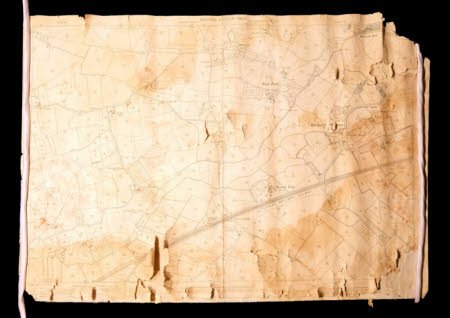
Ordnance survey map
Category
Maps
Date
1902
Materials
Paper and linen
Measurements
735 x 1030 mm
Order this imageCollection
Tyntesfield, North Somerset
NT 40667.1.1
Summary
A linen backed Ordnance Survey Map, scale 1:2500, centred on Bucklands Batch, Nailsea, Somerset. Revised from the 1882 survey in 1902. Some areas on Backwell Common around Dibdin's Farm are outlined in blue, others in red. Field drainage pipes within these areas are also shown in red.
Provenance
Items likely to have originated from the Tyntesfield Estate Office during the period of ownership by the Gibbs family. Found in a property on the Belmont Estate which was previously owned by the Tyntesfield Estate. Gifted to the National Trust in 2023.
