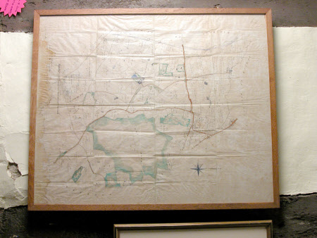
Map of the Baddesley Clinton Estate, Warwickshire
John W. Margetts (fl.1824-1899)
Category
Maps
Date
1876
Materials
Ink and watercolour on paper
Measurements
724 mm (Width); 877 mm (Length)
Order this imageCollection
Baddesley Clinton, Warwickshire
NT 343316
Summary
Coloured map of Baddesley Clinton Estate by John W. Margetts of Warwick, 1876.
Makers and roles
John W. Margetts (fl.1824-1899), cartographer
