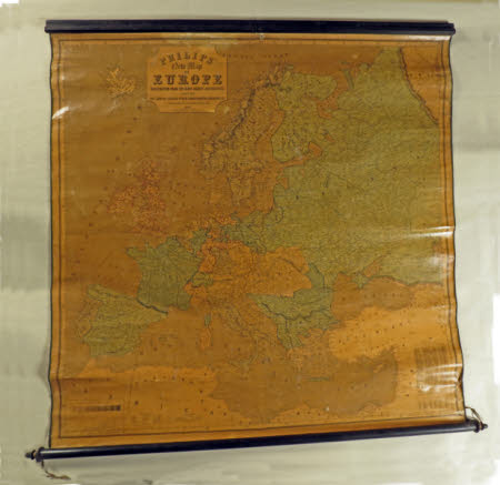
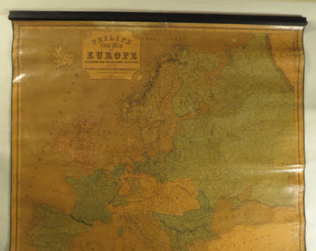
Philips' New Map of Europe/Constructed from the most recent authorities/showing the lines of railway, steam packet routes, distances etc.
Philip's (maps).
Category
Maps
Date
1854
Materials
wood & paper
Measurements
1340 x 1420 mm
Order this imageCollection
Calke Abbey, Derbyshire
NT 286832
Summary
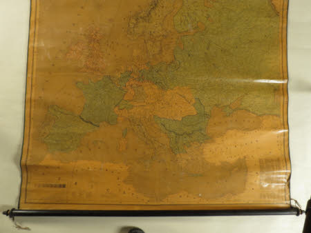
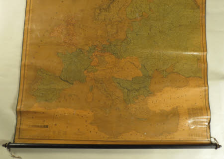
Printed paper map mounted on canvas, entitled 'Philips' New Map of Europe/Constructed from the most recent authorities/showing the lines of railway, steam packet routes, distances etc.' Dated 1854. Coloured, although yellowed. A moulded ebonised bar across the top and an ebonised rod with turned finials below.
Marks and inscriptions
Philips' New Map of Europe/Constructed from the most recent authorities/showing the lines of railway, steam packet routes, distances etc.
Makers and roles
Philip's (maps)., mapmaker


