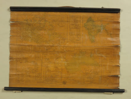
Map of the British Dominions
W. Hughes
Category
Maps
Date
1857
Materials
wood & paper
Measurements
380 x 540 mm
Order this imageCollection
Calke Abbey, Derbyshire
NT 286829
Summary
Glazed printed paper map of 'The British Dominions' engraved by W. Hughes, dated 1857. A moulded ebonised rod is across the top and a plain rod at the base.
Marks and inscriptions
The British Dominions
Makers and roles
W. Hughes, engraver (printmaker)
