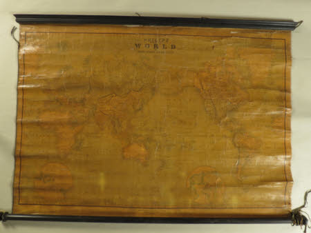
Philips' map of the world on Mercator's Projection
Philip's (maps).
Category
Maps
Date
1856
Materials
wood, canvas & paper
Measurements
990 x 1470 mm
Order this imageCollection
Calke Abbey, Derbyshire
NT 286828
Summary
Glazed printed paper map on a canvas ground with ebonised supports top and bottom. The top edge is moulded and the lower rod turned with knob terminals, entitled 'Philips' map of the world on Mercator's Projection' dated 1856. It is coloured, also yellowed and faded.
Marks and inscriptions
Philips' map of the world on Mercators' Projection
Makers and roles
Philip's (maps)., mapmaker
