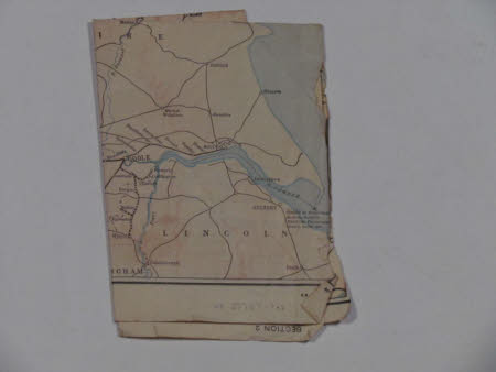
Section 1: London, Midland and Scottish Railway: Map of the Lake District and Lancashire. On reverse is Section 2: London and Scottish Railway Map: North Eastern and Western Centre
Category
Maps
Date
Unknown
Materials
Paper
Measurements
156 x 106 mm
Order this imageCollection
Tyntesfield, North Somerset
NT 27757.1.1
Summary
First sheet of railway map NT27757.1. Printed on both sides. First side is Section 1 showing LONDON MIDLAND AND SCOTTISH RAILWAY / MAP OF / LAKE DISTRICT AND LANCASHIRE. Scale 2 3/4 inches to 30 miles. On reverse is Section 2 showing LONDON MIDLAND AND SCOTTISH RAILWAY / MAP OF NORTH EASTERN / AND WESTERN CENTRE. Scale 2 3/4 inches to 30 miles.
Provenance
Purchased from the estate of the late Lord Wraxall with the assistance of the NHMF and donations from members and supporters.
