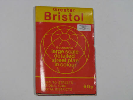
Map of Greater Bristol
Geographia Ltd
Category
Maps
Date
Unknown
Materials
paper
Measurements
260 x 168 mm
Order this imageCollection
Tyntesfield, North Somerset
NT 27756.6
Summary
Geographia paper map of Greater Bristol. Large scale / detailed / street plan / in colour / INDEX TO STREETS / NATIONAL GRID / POSTAL DISTRICTS / 60p / ISBN 0 09 2004 709. White sticker with Lord Wraxall's name and address attached to front and back covers. Handwritten inside on paper map is Wraxall / Feb. 73. Inside back cover is an index of streets on 16 pages. Cover is yellow and red.
Provenance
Purchased from the estate of the late Lord Wraxall with the assistance of the NHMF and donations from members and supporters.
Makers and roles
Geographia Ltd, mapmaker
