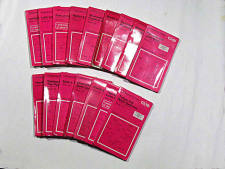
Map of Loch Lomond, Scotland: sheet 56
Ordnance Survey (England, Scotland, Wales)
Category
Maps
Date
Unknown
Materials
Paper and plastic
Measurements
227 x 133 mm
Order this imageCollection
Tyntesfield, North Somerset
NT 27745.7.2
Summary
OrdnanceSurvey map, Loch Lomond, sheet 56, 1:50000, 1976.
Provenance
Purchased from the estate of the late Lord Wraxall with the assistance of the NHMF and donations from members and supporters.
Makers and roles
Ordnance Survey (England, Scotland, Wales) , mapmaker
