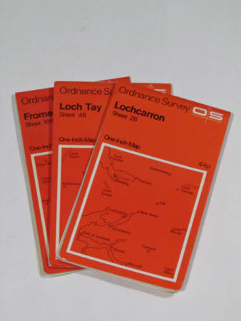
Map of Loch Tay, Perthshire, Scotland: sheet 48.
Ordnance Survey (England, Scotland, Wales)
Category
Maps
Date
Unknown
Materials
Paper
Measurements
222 x 117 mm
Order this imageCollection
Tyntesfield, North Somerset
NT 27745.6.2
Summary
Ordnancesurvey map, bright red cover, Loch Tay, sheet 48.
Provenance
Purchased from the estate of the late Lord Wraxall with the assistance of the NHMF and donations from members and supporters.
Makers and roles
Ordnance Survey (England, Scotland, Wales) , mapmaker
