London Railways
Category
Maps
Date
1893
Materials
Paper and wood.
Measurements
465 x 590 x 20 mm
Order this imageCollection
Penrhyn Castle, Gwynedd
NT 1700803
Summary
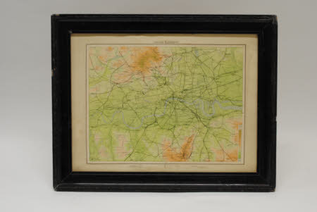
Railway map. A printed map of railways in London, showing lines prior to the grouping in 1923. The map is colour tinted in green and brown to indicate altitude, and is in a black-painted wooden frame with no glass.
Marks and inscriptions
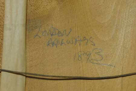
On back of frame: LONDON / RAILWAYS / 1893

