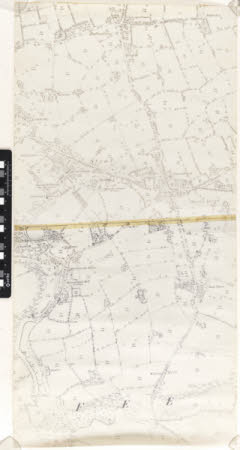
Map
Ordnance Survey (England, Scotland, Wales)
Category
Maps
Date
Unknown
Materials
Measurements
875 x 440 mm
Order this imageCollection
Quarry Bank, Cheshire
NT 1461523
Summary
An enlarged photocopy of an Ordnance Survey map of Styal and the surrounding area. All fields are numbered and main buildings are annotated, including 'Quarry Bank Mill (Cotton)', 'Quarry Bank House', the chapels and school in the village. It is produced in black ink and comprises of two pages stuck together with Sellotape.
Makers and roles
Ordnance Survey (England, Scotland, Wales) , cartographer
