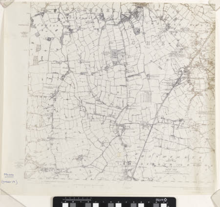
Map
Ordnance Survey (England, Scotland, Wales)
Category
Maps
Date
Unknown
Materials
Measurements
460 x 510 mm
Order this imageCollection
Quarry Bank, Cheshire
NT 1461522
Summary
A photocopy of an Ordnance Survey map of Stockport and surrounding areas, including Bolshaw Outwood, Handforth, and Cheadle Hulme. Styal is identified in the bottom left corner.
Marks and inscriptions
Front, bottom left corner: 'North. (Sheet 19)'
Makers and roles
Ordnance Survey (England, Scotland, Wales) , cartographer
