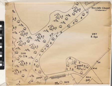
Map
Ordnance Survey (England, Scotland, Wales)
Category
Maps
Date
Unknown
Materials
Measurements
540 x 615 mm
Order this imageCollection
Quarry Bank, Cheshire
NT 1461520.5
Summary
An enlarged copy of an Ordnance Survey grid square. In the top right corner the edge of 'Norcliffe Chapel (Unitarian)' is identified. The remainder of the map consists of unlabelled fields and woodland. It is produced in black ink and the buildings are infilled with black dots.
Makers and roles
Ordnance Survey (England, Scotland, Wales) , cartographer
