Map
Ordnance Survey (England, Scotland, Wales)
Category
Maps
Date
Unknown
Materials
Measurements
605 x 680 mm
Order this imageCollection
Quarry Bank, Cheshire
NT 1461515
Summary
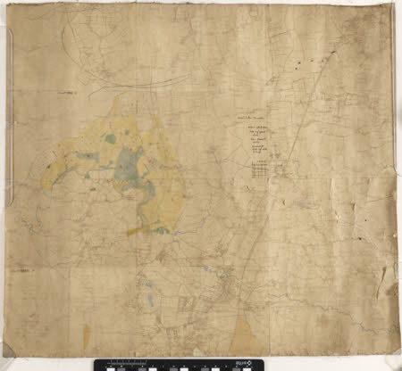
Part of an Ordnance Survey map showing Styal and the surrounding area, produced on linen. The river Bollin and its estuaries are identified in blue, a portion of the fields surrounding Styal are filled in with yellow, and buildings are identified in red. In the centre is a handwritten note on the scales of inches, miles, and acres, and a square inch grid to identify the scale.
Marks and inscriptions
Reverse: '6 inch Ordnance Map Styal'
Makers and roles
Ordnance Survey (England, Scotland, Wales) , cartographer
