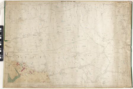
Map
Ordnance Survey (England, Scotland, Wales)
Category
Maps
Date
1898
Materials
Measurements
715 x 1045 mm
Order this imageCollection
Quarry Bank, Cheshire
NT 1461514
Summary
An Ordnance Survey map of Styal, scale 1 : 2500, labelled 'Cheshire Sheet XIX.13'. The plan is produced in black and white, with blue colour washes identifying water. The village of Styal is produced in colour in the bottom left corner of the map, with buildings such as Oak Farm, Styal School, Police Station, and both Chapels identified with red colour wash.
Makers and roles
Ordnance Survey (England, Scotland, Wales) , cartographer
