Map
Ordnance Survey (England, Scotland, Wales)
Category
Maps
Date
1909
Materials
Measurements
740 x 210 mm
Order this imageCollection
Quarry Bank, Cheshire
NT 1461512
Summary
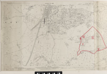
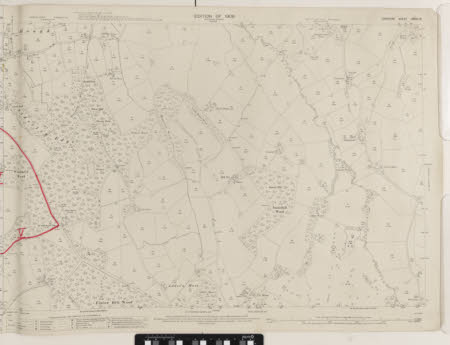
An Ordnance Survey map of Alderley Edge, labelled 'Sheet XXVIII.14'. Part of the map, in an area to the right of Alderley Edge mines and encompassing Windmill Wood, has a hand-drawn boundary in red ink and is labelled in Roman numerals at five points.
Makers and roles
Ordnance Survey (England, Scotland, Wales) , cartographer

