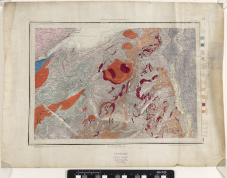
Map
Ordnance Survey (England, Scotland, Wales)
Category
Maps
Date
Mar 1852
Materials
Measurements
455 x 615 mm
Order this imageCollection
Quarry Bank, Cheshire
NT 1461508
Summary
An Ordnance Survey map of a geological survey of Harlech, scale 1 inch : 1 mile, labelled 'Sheet LXXV N.E'. It is produced in colour, predominantly red and orange, and printed by J.E. Cornish, stationer, 13 St Ann's Square, Manchester.
Makers and roles
Ordnance Survey (England, Scotland, Wales) , cartographer
