Map
Ordnance Survey (England, Scotland, Wales)
Category
Maps
Date
1901
Materials
Measurements
450 x 555 mm
Order this imageCollection
Quarry Bank, Cheshire
NT 1461506
Summary
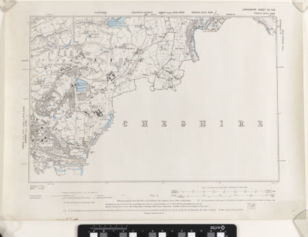
An Ordnance Survey map of Lancashire, scale 1 inch : 1 mile, labelled 'Sheet CV N.E'. Half of the map shows Lancashire, the border being defined by a series of dashed lines, with the other half being blank with 'Cheshire' written in large text. It is produced in black and white, with blue colour wash identifying areas of water.
Makers and roles
Ordnance Survey (England, Scotland, Wales) , cartographer
