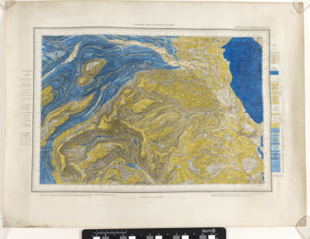
Geological Survey of England and Wales
Ordnance Survey (England, Scotland, Wales)
Category
Maps
Date
1861
Materials
Measurements
460 x 520 mm
Order this imageCollection
Quarry Bank, Cheshire
NT 1461501
Summary
An Ordnance Survey map of England and Wales, scale 1 inch : 1 mile, labelled 'Sheet 97 S.E., New Series Sheet 51'. The map is divided into coloured segments of blues, beiges, and yellows, with each colour identified by an index to the right of the map.
Makers and roles
Ordnance Survey (England, Scotland, Wales) , cartographer
