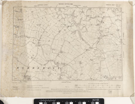
Map
Ordnance Survey (England, Scotland, Wales)
Category
Maps
Date
1899
Materials
Measurements
405 x 550 mm
Order this imageCollection
Quarry Bank, Cheshire
NT 1461500
Summary
A second edition Ordnance Survey map of Mobberley, scale 6 inches : 1 mile, labelled 'Cheshire Sheet XXVII'. Around the edge of the map are identified other areas, such as Knutsford, Altrincham, Ashley, Styal, and Wilmslow.
Makers and roles
Ordnance Survey (England, Scotland, Wales) , cartographer
