Map
Ordnance Survey (England, Scotland, Wales)
Category
Maps
Date
1989
Materials
Measurements
720 x 1060 mm
Order this imageCollection
Quarry Bank, Cheshire
NT 1461489
Summary
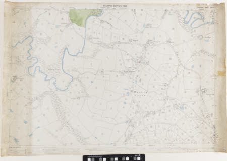
An Ordnance Survey map, scale 1:2500, labelled 'Cheshire Sheet XXVIII.4', it is a second edition. It is produced in black and white with blue colour shading to identify water sources and an area of green colour shading to identify some land and fields. It shows Morley Green, Oversleyford, and Oversleybank.
Makers and roles
Ordnance Survey (England, Scotland, Wales) , cartographer
